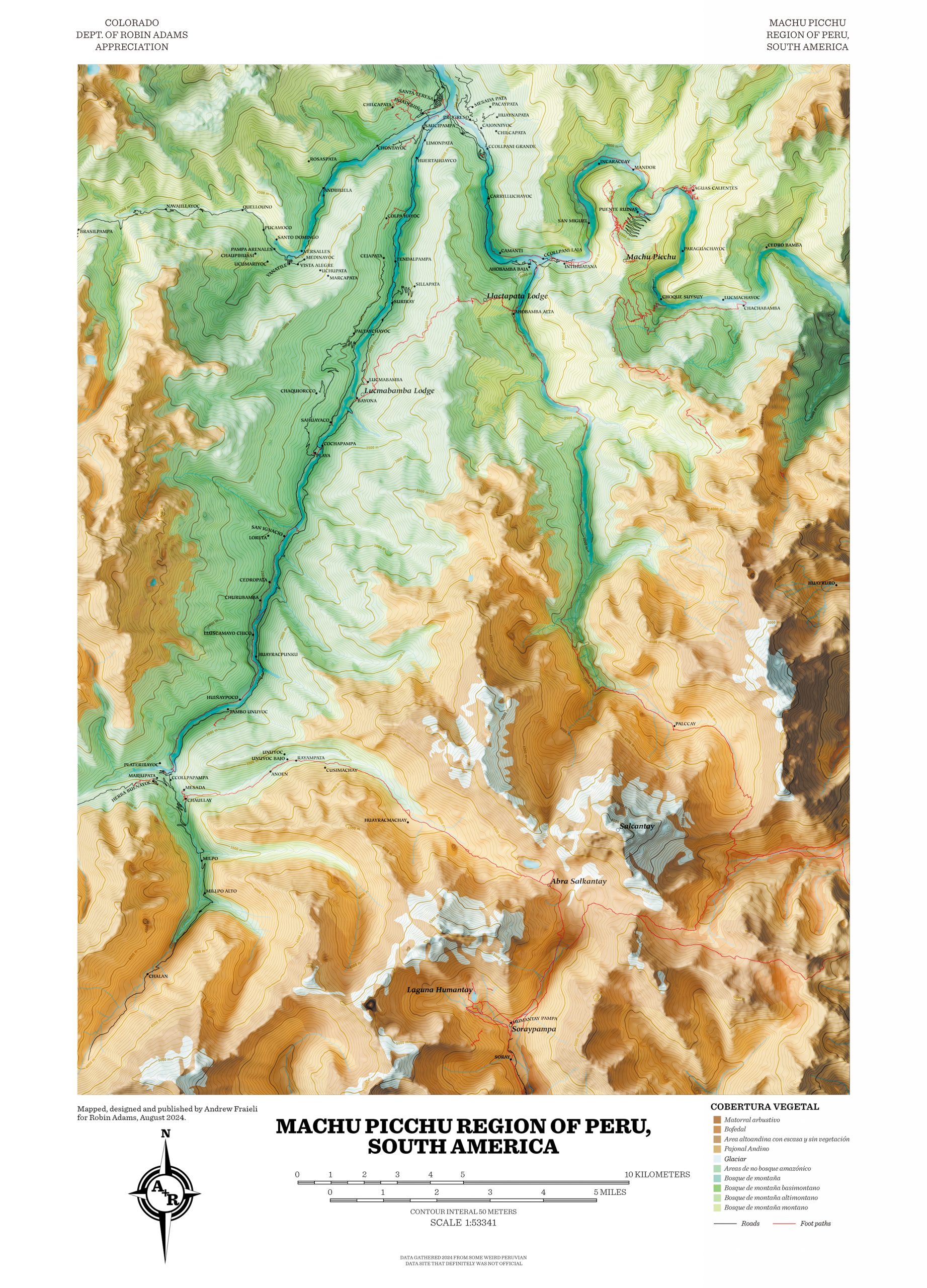
Maps:
Map of Machu Picchu
A map of the Machu Picchu region of Peru I created from scratch using QGIS to lay out GIS data, Illustrator for some details, and Blender to create a 3D map of the height data, based roughly on the style of 1950s Adirondacks hiking maps.
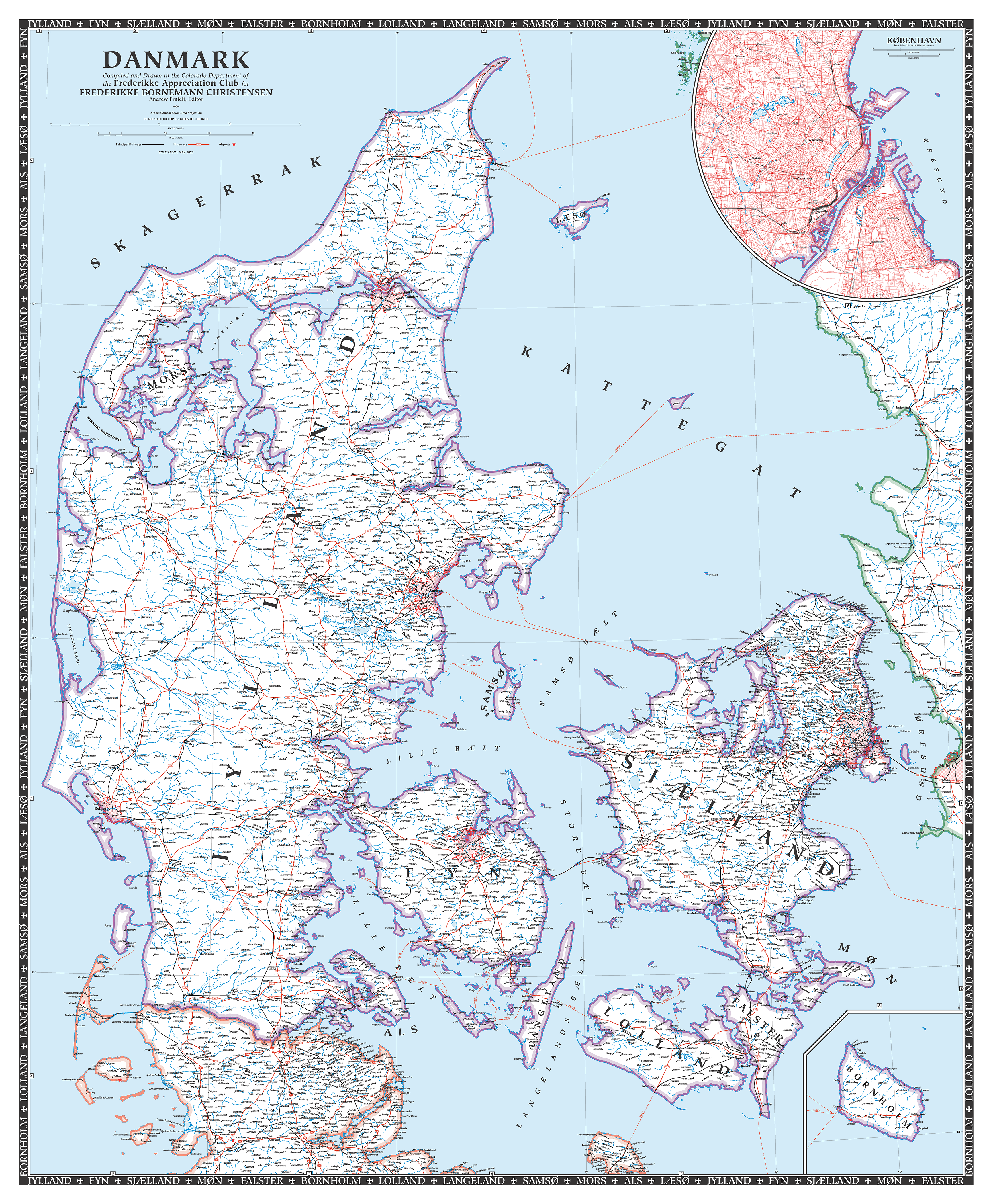
Map of Denmark
A map of Denmark I created from scratch using QGIS and Illustrator based on the design of old National Geographic maps of the United States from the 40s and 50s.
Art:
Retro MTV Logo

Using Illustrator to create a vector, and Photoshop to create the neon, I then imported into After Effects and customized a set of effects to give the look of color dissociation, tape defects, and playback stutter.
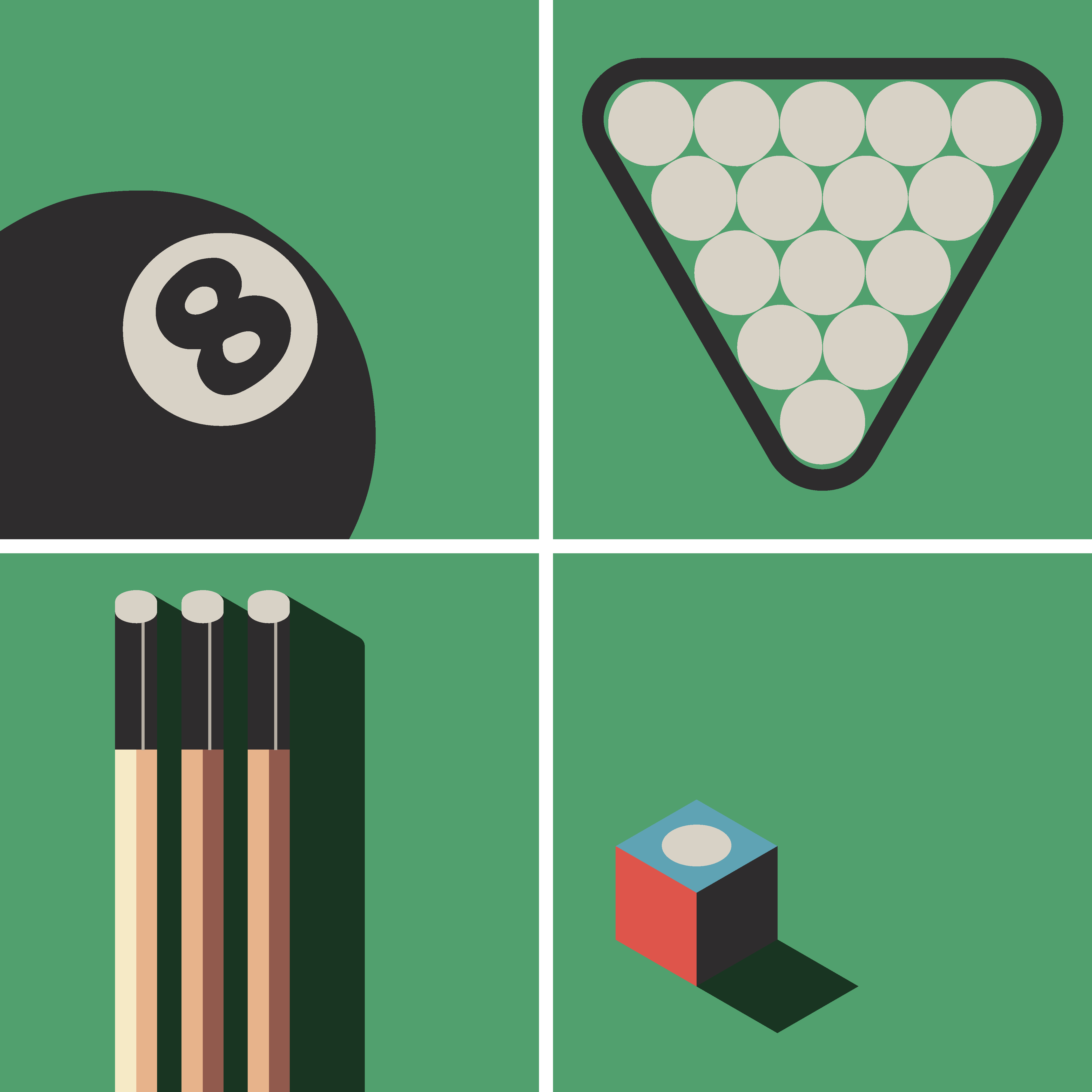
Billiards
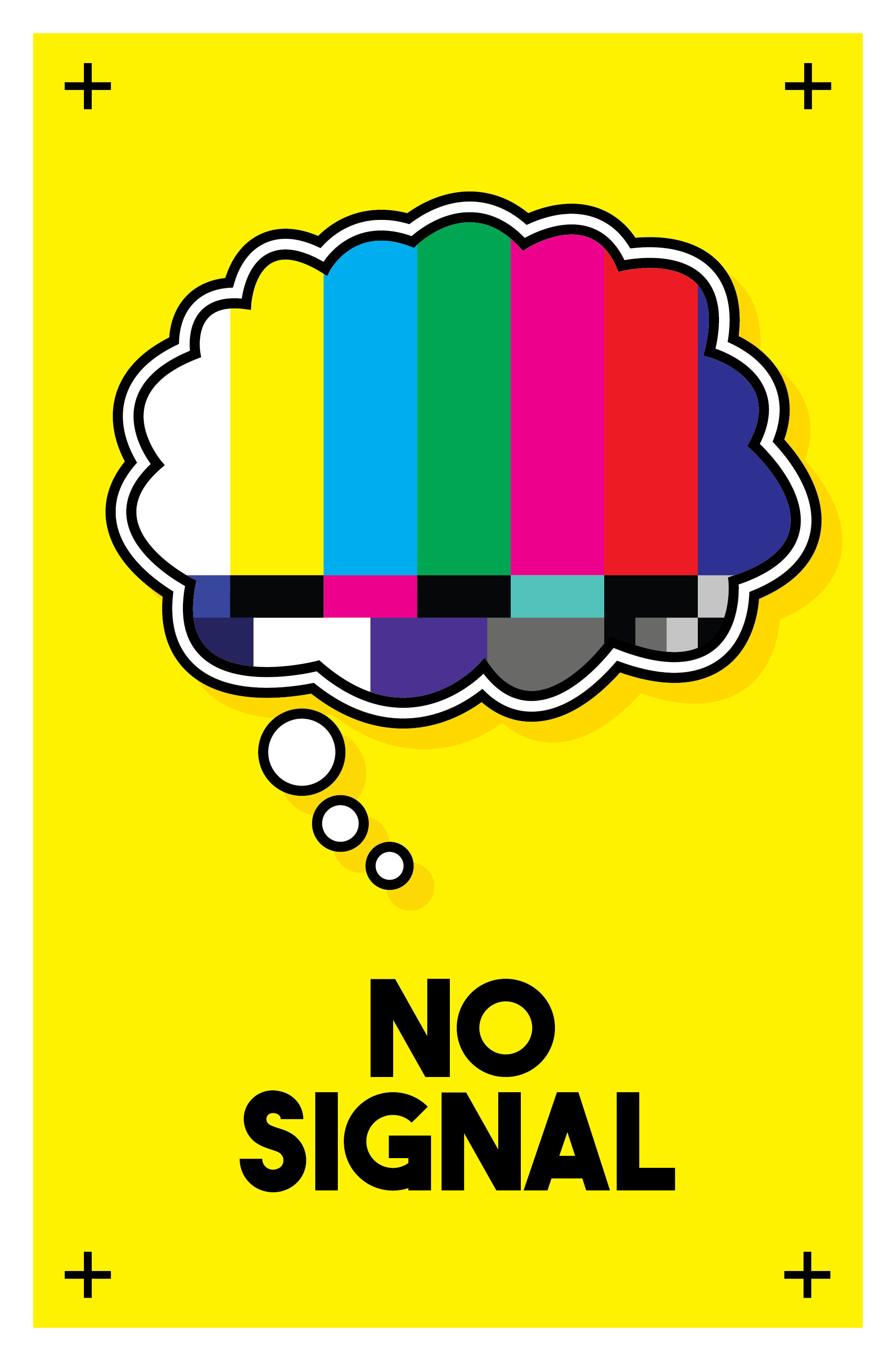
No Signal
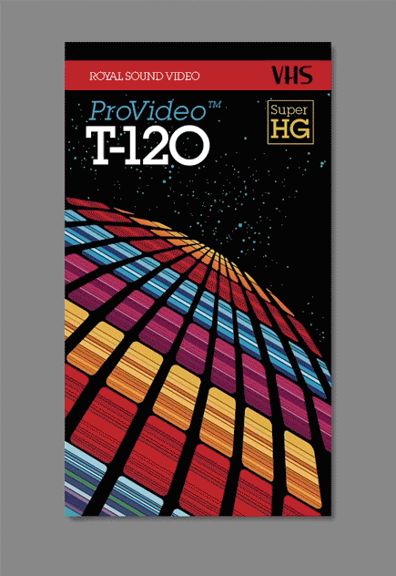
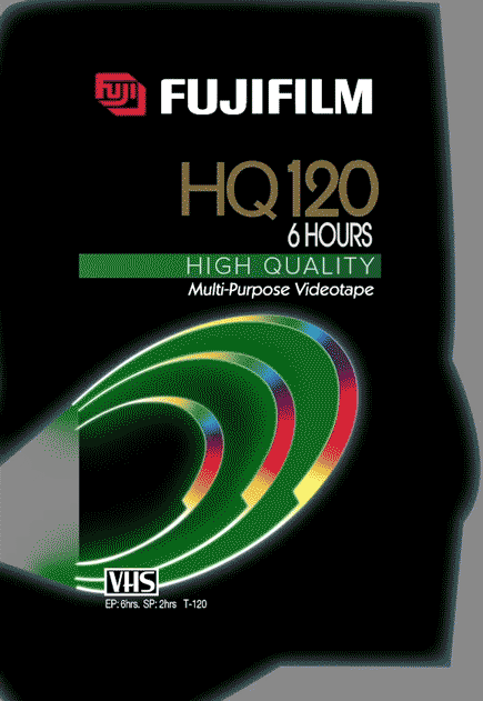
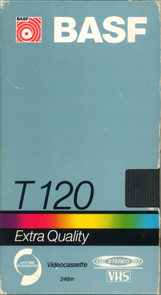
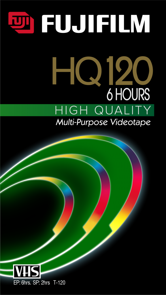
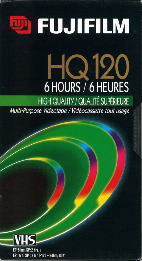
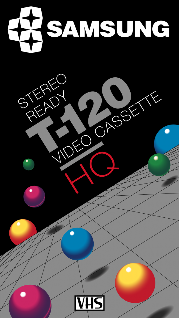
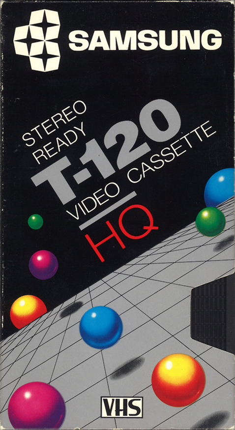
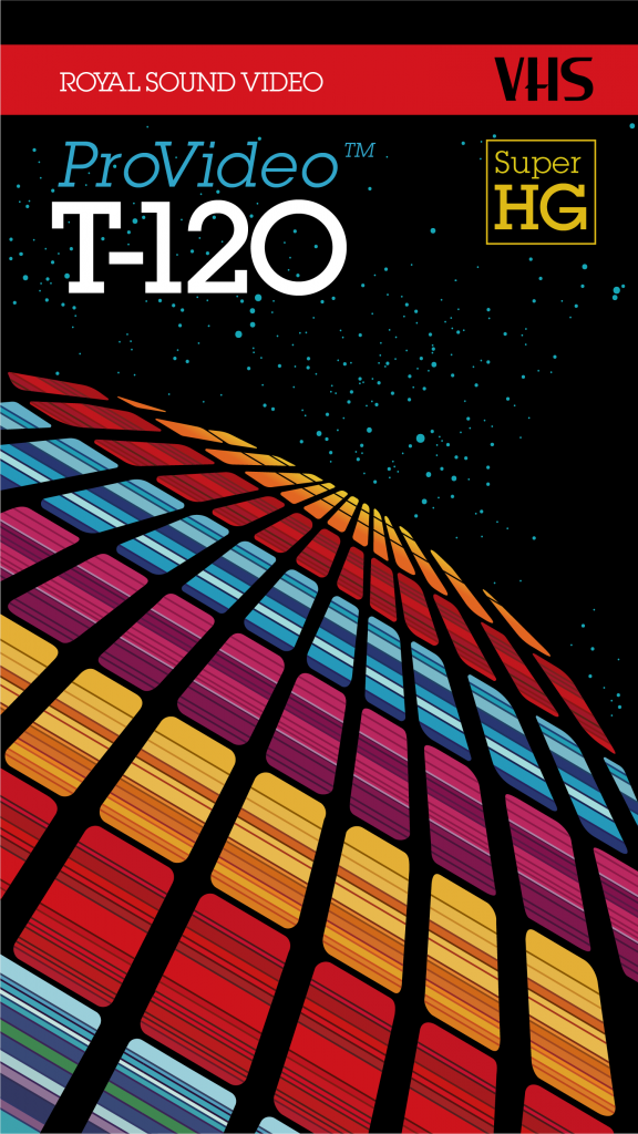
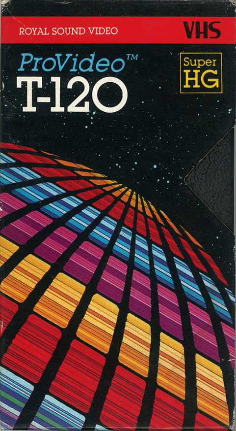
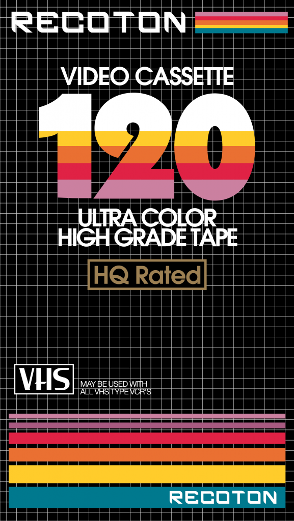
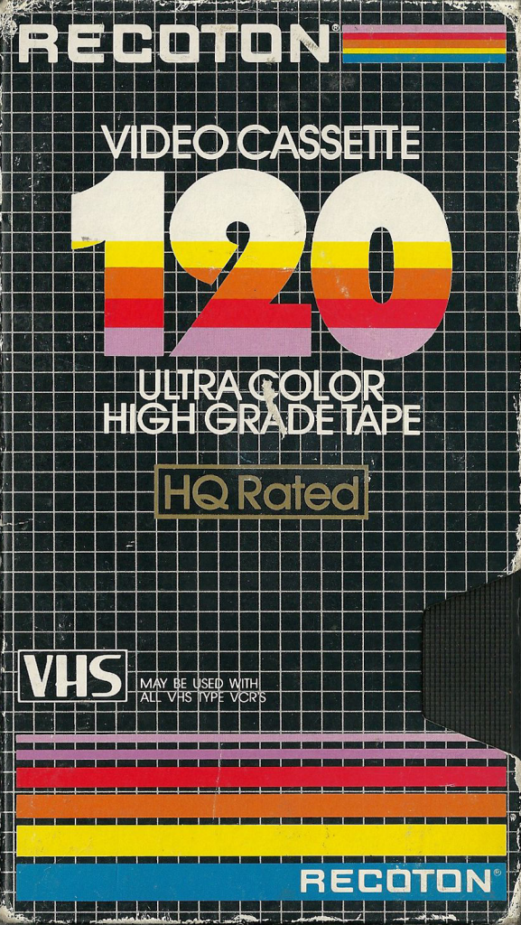
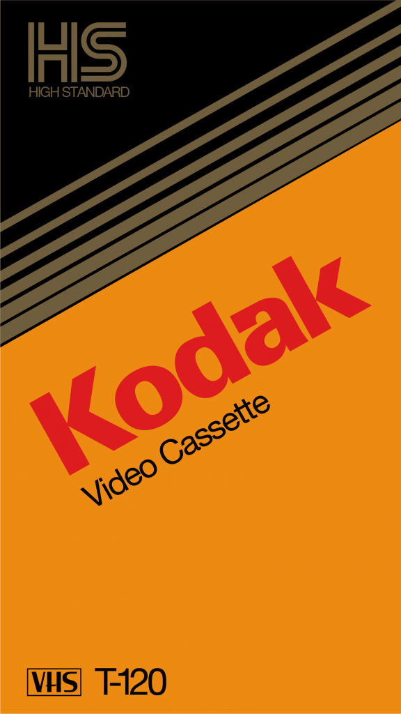
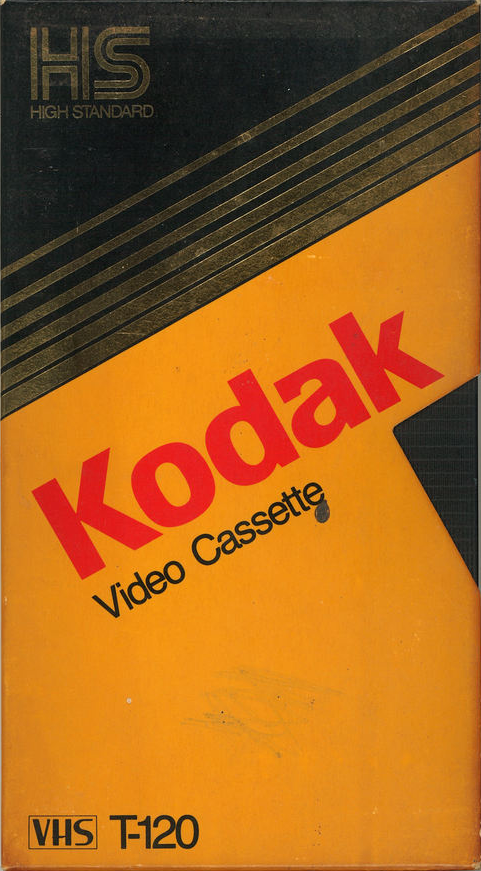
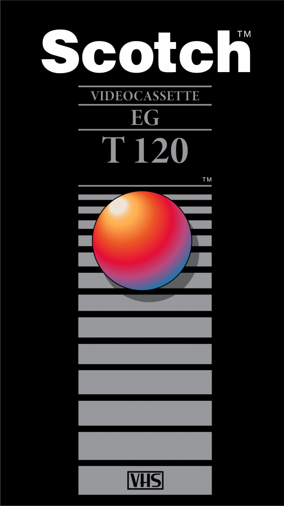
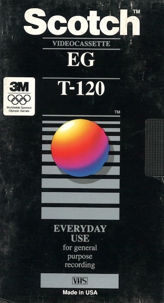
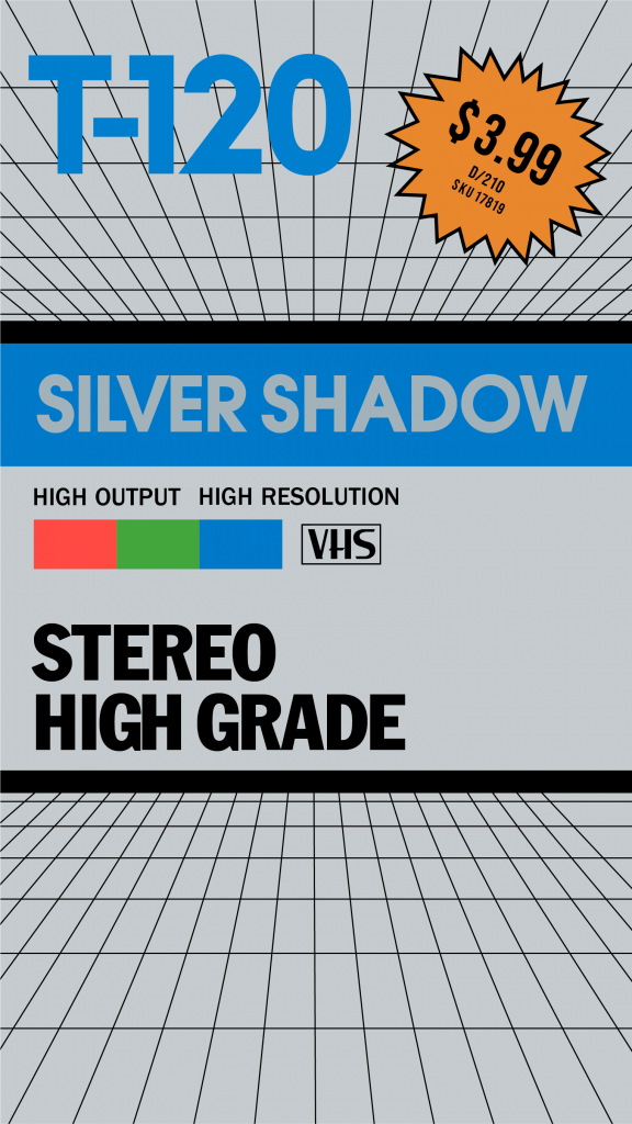
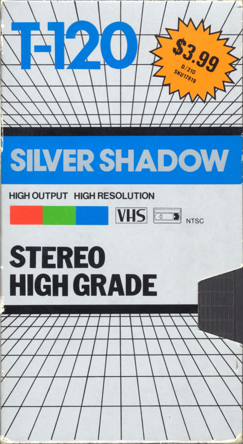
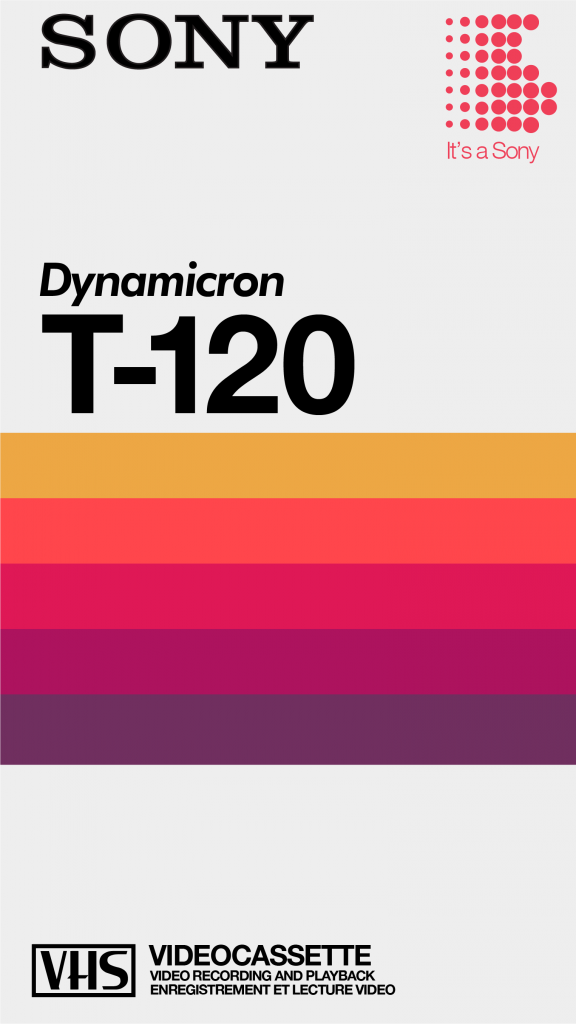
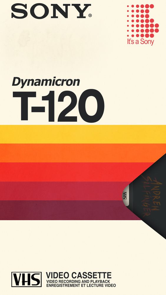
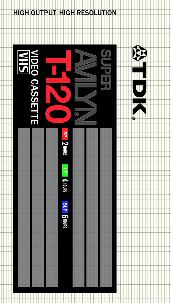
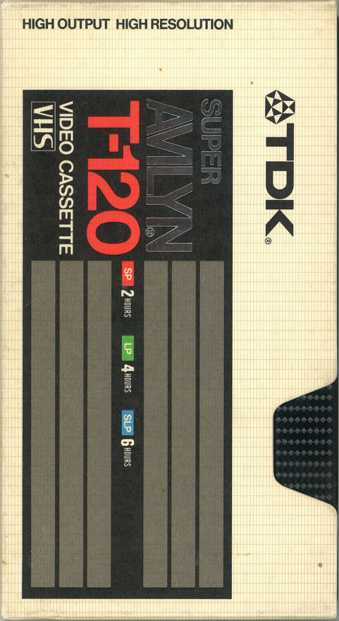
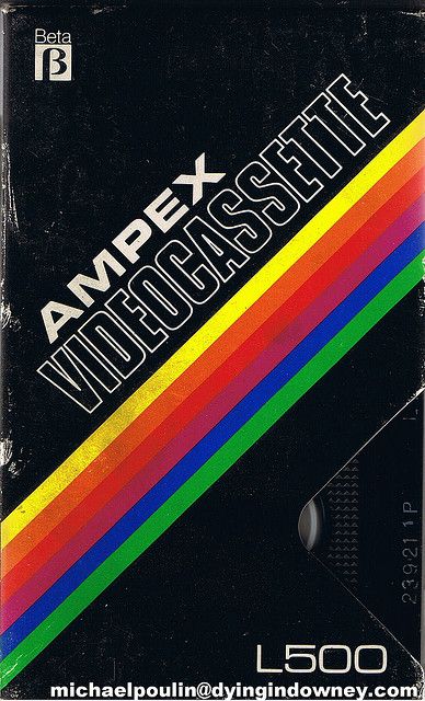
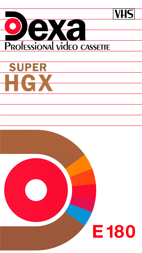
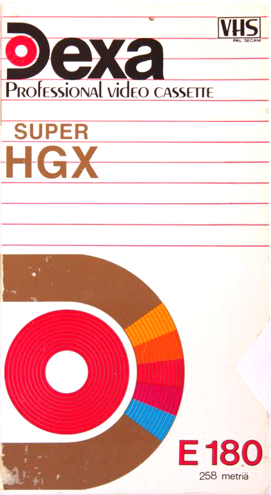
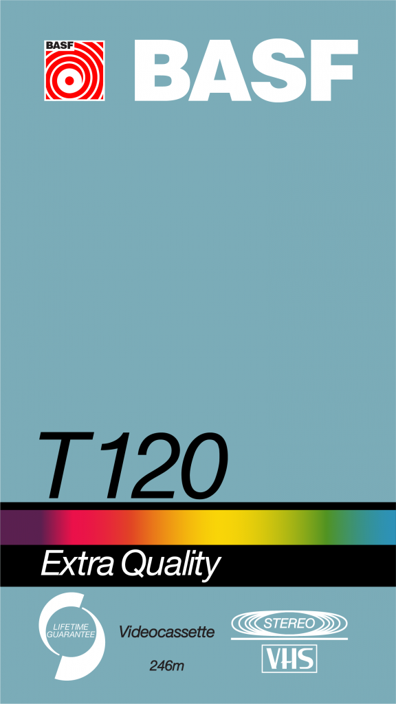
VHS Box Designs
I find VHS tape boxes fascinating in their designs. As a challenge, I recreated some of them in purely Illustrator using only vectors and live text. They are all scalable, customizable vectors.
Vector
Orig.
Vector
Orig.
Vector
Orig.
Vector
Orig.
Vector
Orig.
Vector
Orig.
Vector
Orig.
Vector
Orig.
Vector
Orig.
Vector
Orig.
Vector
Orig.
Vector
Orig.